

Wetland Stewardship

The Town of Bauline is located on the Northeast Avalon Peninsula north of the City of St. John's along the Killick Coast neat the southeast point of Conception Bay. Although only 20 minutes from the Capital, the Town still maintains a rural atmosphere. A small fishing village, there can be no doubt that the original name was "Baleine", after a place in the Island of Sark which it very much resembles. It has also been suggested the name references a connection to the whaling industry
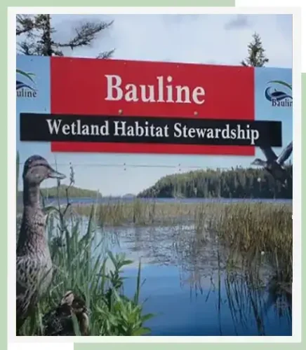
conservation areas
The Town of Bauline is located on the Northeast Avalon Peninsula, within the Northeastern Barrens Subregion of the Maritime Barrens Ecoregion. This region is characterized by barren ecosystems, interspersed with peatland and forest. Wetland ecosystems are dispersed throughout the area, comprised of hundreds of ponds, mixed with slope bogs, basin bogs, and fen.
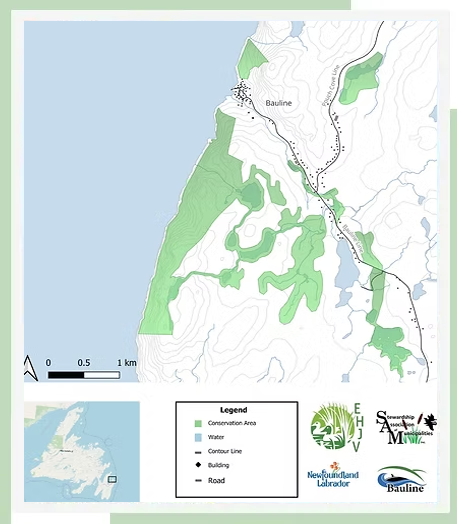
The Town of Bauline signed a Habitat Conservation Agreement, designating 7 areas within their municipal planning boundaries as Conservation Areas (CAs), totaling 837 acres of conserved land: Rocky Pond, Pouch Cove Gully, Bakeapple Marsh, Bauline Rocky Pond, Rogers Tilt Pond/Church Pond/Little Gully/Cove Pond, Rogers Gullies and the Shoreline. The majority of areas conserved under the agreement are freshwater wetlands - they contain ideal feeding, nesting and staging habitat for numerous waterfowl species, as well as other wildlife.
Rocky Pond (56 acres) is located approximately 100 meters off Route 21 and contains ideal feeding and staging habitat for numerous waterfowl species, as well as other wildlife.
Pouch Cove Gully (22 acres) is located on the northern end of Bauline Line in the immediate vicinity of the Route 21 exit.
protecting our wetlands
wetland map
Slider Coming Soon!